
A map reconnaissance is a common technique used to get a lay of the land, before you physically go there. This is commonly used by the military and others as a first step in planning activities in a new area.
If you are planning a hunting, hiking, or camping trip, a map reconnaissance will give you an idea of both where you want to go and the areas that you want to avoid. Another thing a prepared citizen or aspiring scout would use a basic map recon for is an area study (an area study is a comprehensive review of a place or community). Everyone who is planning to use their bug out bag should also have planned routes they can drive and/or walk, to either escape an area or get back home. Road trips are much the same, I would be willing to bet you have looked at an atlas while trying to plan a trip across the country.
A map reconnaissance is not only useful for places you have never been, but also for places you are familiar with Especially if you are planning on a new activity, goal, or mission. For example, I have gone day hiking in an area before, but I now want to plan a backpacking trip. In this case I already have some ideas about the lay of the land, but I also have new requirements such as a place to sleep, more meals to be made, more water to be gathered, etc. You can combine what you know about the area with the map to plan a route and set travel goals.
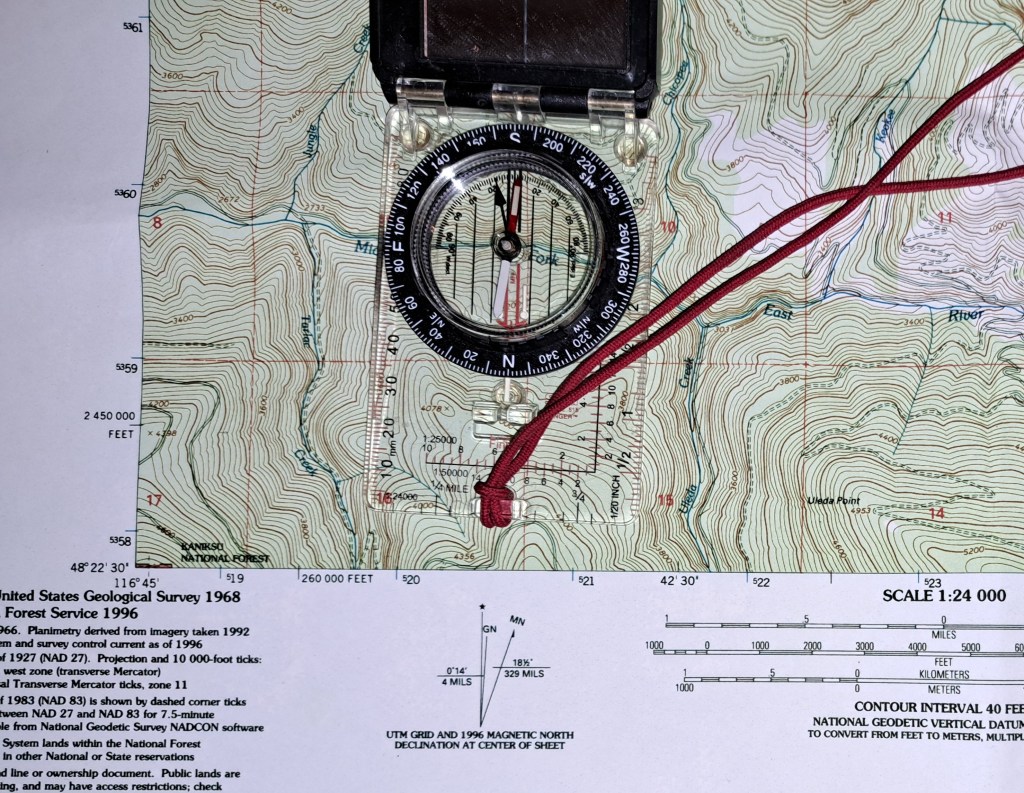
When I begin a map reconnaissance I use as many sources of information as I have available to get information from. If I am in the field and a new tasking comes up this might only be the topographic maps I have on hand and possibly GPS apps such as OnX. If I am at home or work then I would use topographic maps, road atlases, Google Earth, OnX, and whatever else I could find. As using several types of maps gave more information.
A basic topographic map is the best for reading topography. An atlas was the best tool for roads information as they are updated more frequently than topographic maps and roads change frequently. Satellite photos or overlays are helpful for vegetation, signs of human activities (new construction or worn-out buildings), animal trails, they can give you an idea of road conditions or if it was washed out, water ways, etc. Some places like Google Earth show allow you look at previous pictures of an area and you can track changes over time. These changes can be used to predict if an area is moving to a state of disrepair or improvement. Additionally, they have 3D models you can navigate helping you get a feel of the lay of the land if you newer to reading a topographic map and the features don’t “pop” out at you yet.
You can and should draw out the natural lines of drift. If you are going into a new area, you likely have a goal that requires you either find or avoid people or animals. So having a better idea of where those are will help you to either find or avoid them.
Any reconnaissance is done to answer questions. It will often also generate a new list of questions to be answered. Using your various mapping tools you are trying to answer as many of those questions as you can. You are also going to make a list of places to check in person to confirm your educated guesses from what the map is telling you.
Taking these steps will speed up your learning in a new area. Making it easier to plan where you will travel, where you will avoid, and what you are going to do when you get there.
Safe travels.
-Joseph
